Transit and commuting in Centretown
Two Line 1 O-Train stations are within about 0.6 km of Centretown, and Parliament Hill is about 0.8 km away in a straight line.
The O-Train does not run through the Centretown area yet: Lyon station, just east, is the western end of Line 1.
Updated · Facts on this page link to their sources
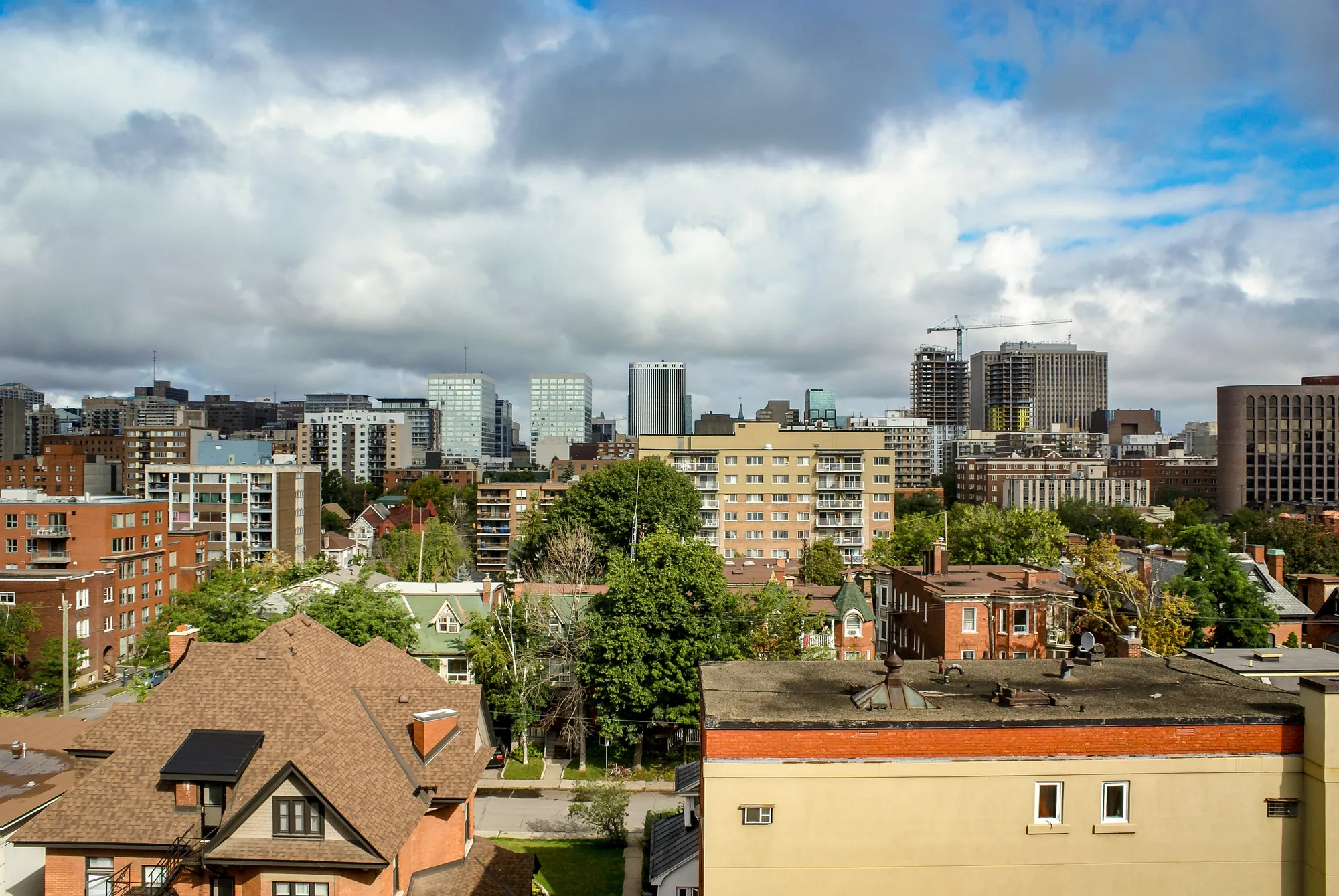
From Centretown, the nearest O-Train stations (straight-line) are Parliament station at about 0.5 km and Lyon station at about 0.6 km, both on Line 1. Bank North and Bank South Transitway stations are about 0.4 km away. From West Centretown, Corso Italia station (Line 2) is about 0.4 km and Pimisi station (Line 1) about 0.8 km away.
In the 2021 census (via the Ottawa Neighbourhood Study), 15.3% of Centretown workers commuted by public transit, 38.0% by car, truck or van, 37.9% on foot and 4.9% by bike. Separately, 57.7% worked from home. In West Centretown the shares were 20.8% by transit, 48.1% by car, 22.7% on foot and 4.9% by bike, with 48.7% working from home.
Transit stations map
O-Train stations
9Corso Italia station
O-Train Line 2
OpenIn West Centretownwikidata.org en.wikipedia.org
Lyon station
O-Train Line 1
OpenIn Centretownwikidata.org en.wikipedia.org
Parliament station
O-Train Line 1
OpenIn Centretownwikidata.org en.wikipedia.org
Pimisi station
O-Train Line 1
OpenIn West Centretownwikidata.org en.wikipedia.org
Bayview station
O-Train Line 1, Line 2
Dow's Lake station
O-Train Line 2
Lees station
O-Train Line 1
Rideau station
O-Train Line 1
uOttawa station
O-Train Line 1
Transitway stations
13Bank North station
Transitway / transit station (City of Ottawa transit stations layer)
OpenIn Centretownmaps.ottawa.ca
Bank South station
Transitway / transit station (City of Ottawa transit stations layer)
OpenIn Centretownmaps.ottawa.ca
Bay North station
Transitway / transit station (City of Ottawa transit stations layer)
OpenIn Centretownmaps.ottawa.ca
Bay South station
Transitway / transit station (City of Ottawa transit stations layer)
OpenIn Centretownmaps.ottawa.ca
Kent North station
Transitway / transit station (City of Ottawa transit stations layer)
OpenIn Centretownmaps.ottawa.ca
Kent South station
Transitway / transit station (City of Ottawa transit stations layer)
OpenIn Centretownmaps.ottawa.ca
Lebreton station
Transitway / transit station (City of Ottawa transit stations layer)
OpenIn Centretownmaps.ottawa.ca
Metcalfe North station
Transitway / transit station (City of Ottawa transit stations layer)
OpenIn Centretownmaps.ottawa.ca
Metcalfe South station
Transitway / transit station (City of Ottawa transit stations layer)
OpenIn Centretownmaps.ottawa.ca
Campus station
Transitway / transit station (City of Ottawa transit stations layer)
Openmaps.ottawa.ca
Laurier North station
Transitway / transit station (City of Ottawa transit stations layer)
Openmaps.ottawa.ca
Laurier South station
Transitway / transit station (City of Ottawa transit stations layer)
Openmaps.ottawa.ca
MacKenzie King station
Transitway / transit station (City of Ottawa transit stations layer)
Openmaps.ottawa.ca
Quick answers
Short answers first; each links to the full answer and its sources.
How far is Centretown from downtown Ottawa?
Centretown is about 0.8 km from Parliament Hill in a straight line (as the crow flies), which this guide uses as its downtown reference point. West Centretown is about 2.0 km from Parliament Hill by the same measure.
As of 2026-10 · en.wikipedia.org en.wikipedia.org
Is Centretown on the O-Train?
Yes, Centretown has O-Train Line 1 stations close by. Parliament station is about 0.5 km and Lyon station about 0.6 km from Centretown, in a straight line. Rideau and uOttawa stations are also listed within about 1.4 km of the guide's centre point.
As of 2026-10 · wikidata.org wikidata.org
What is the nearest O-Train station to Centretown?
The nearest O-Train station to Centretown is Parliament station on Line 1, about 0.5 km away in a straight line. Lyon station, also on Line 1, is about 0.6 km away.
As of 2026-10 · wikidata.org wikidata.org
How do people in Centretown get to work?
In the 2021 census (via the Ottawa Neighbourhood Study), 38.0% of Centretown workers commuted by car, truck or van and 37.9% on foot. Public transit accounted for 15.3% and bicycles for 4.9%. Separately, 57.7% of workers worked from home.
As of 2026-10 · ons-sqo.ca ons-sqo.ca
Is Centretown walkable?
Centretown's ONS average Walk Score is 69 and its Bike Score is 95. In the 2021 census, 37.9% of Centretown workers commuted on foot. The average number of transit stops within a 600 m walk is 20.1.
As of 2026-10 · ons-sqo.ca ons-sqo.ca
How many transit stops are near Centretown?
The Ottawa Neighbourhood Study reports an average of 20.1 transit stops within a 600 m walk in Centretown and 20.8 in West Centretown. Transitway stations such as Kent South, Bank North and Bank South are within about 0.3 to 0.4 km of the guide's centre point.
As of 2026-10 · ons-sqo.ca ons-sqo.ca